
GIS Case Study
Vantage Map Studio — Custom Geo-Visualization Framework
A customised, embeddable geo-visualization framework extended with new layer types and integrated into existing web applications.
Domain
Geospatial Data Visualization
Role
Frontend / Geospatial Engineer
At A Glance
What Makes It Work
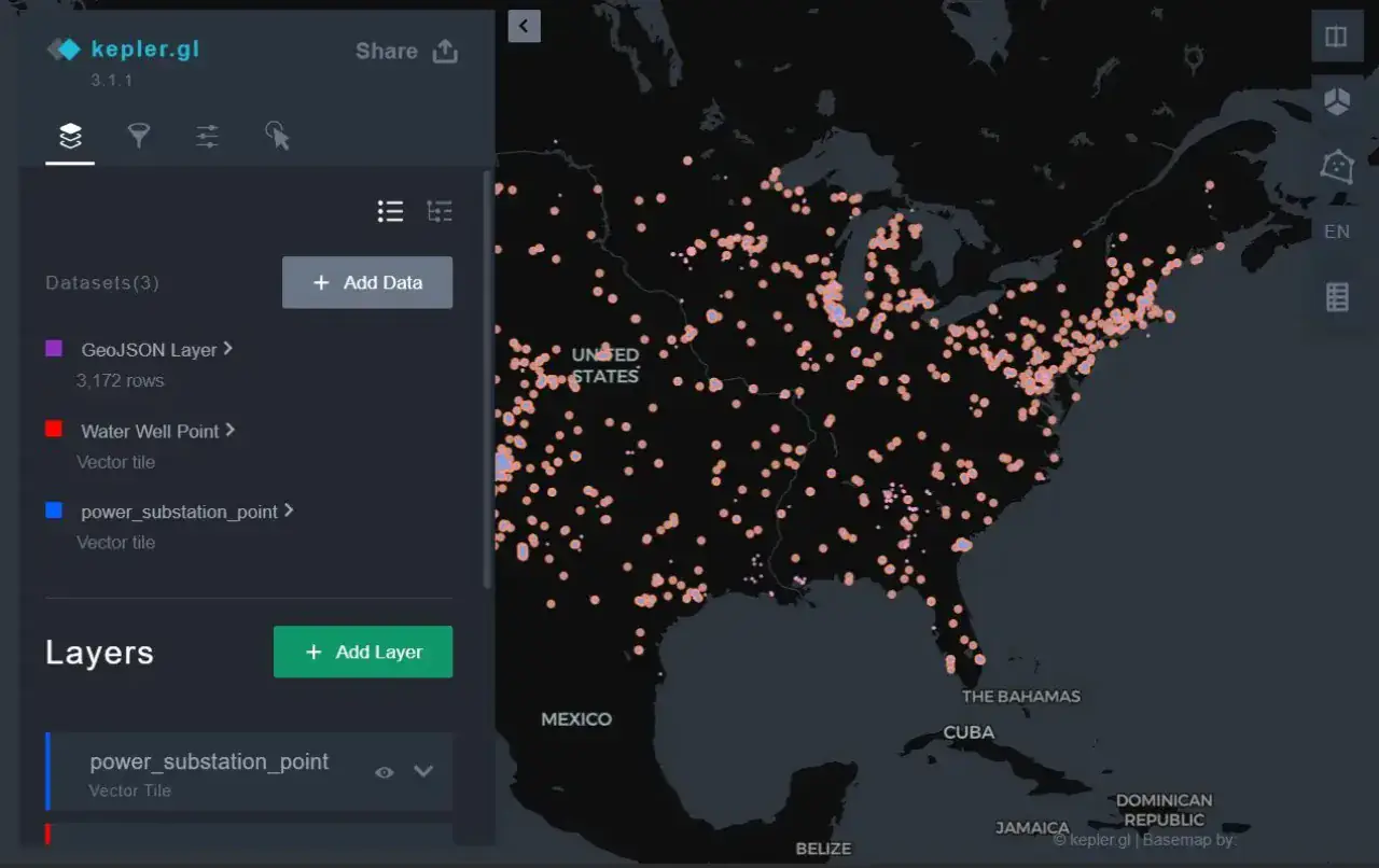
Forked and extended an open-source visualization framework with client-specific features and branding
deck.gl-powered rendering of large point, line and polygon datasets
Packaged as a reusable NPM module and dropped into host applications
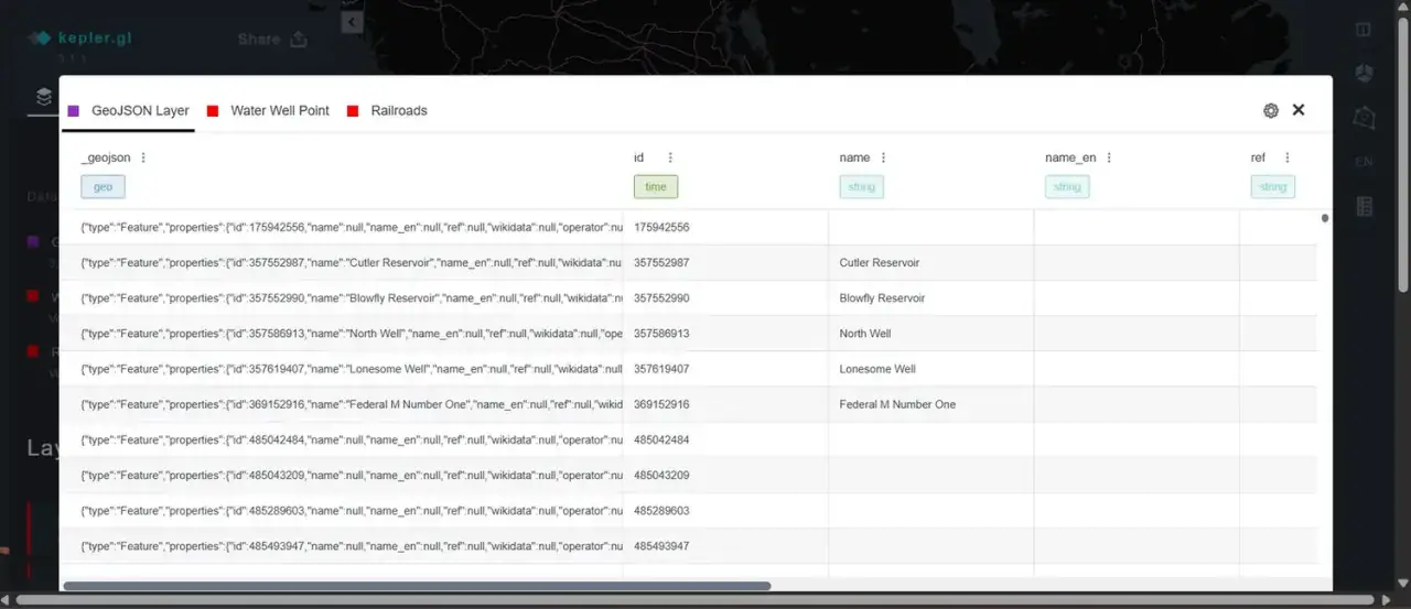
Custom data loaders and schema managers for vector-tile and GeoJSON sources
Capabilities
Core Functionality
Custom vector-tile layer registered into the framework's layer registry
Map state driven programmatically via addDataToMap and the processor API
Schema manager used to save and restore full map configuration
Branded UI theme with a trimmed, task-focused panel set
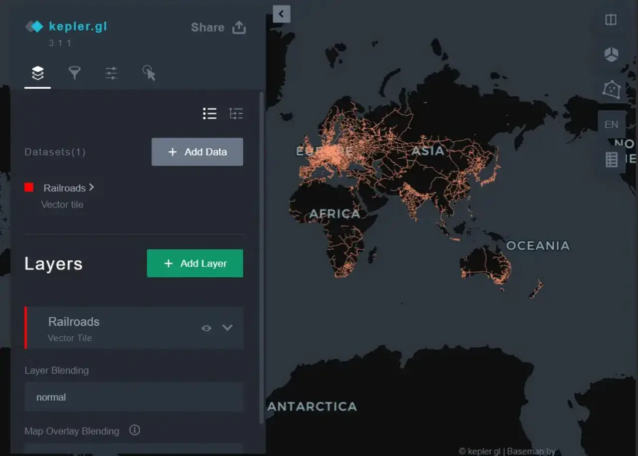
Dataset and layer blending controls exposed to end users
Embedded into host applications as a versioned package
Technologies
Tools & Stack
Product
From The Working Application
Portfolio
Explore More GIS Projects
Contact Us
Have A Project?
Let’s Build ItHave a project in mind? Tell us what you're building and we'll get back to you within 12–24 hours with a clear plan.
🔒
100% Confidential
⚡
12–24 Hr Response
🛡️
60-Day Bug Fix
✅
Free Consultation
💬
Start Your Project
Fill in the details below or book a call