
GIS Case Study
Municipal Parcel & Property GIS — EsriJS GIS Application
A municipal parcel and property information system giving staff and the public a single view of city land records.
Domain
Local Government / Real Estate
Role
GIS Application Developer
At A Glance
What Makes It Work
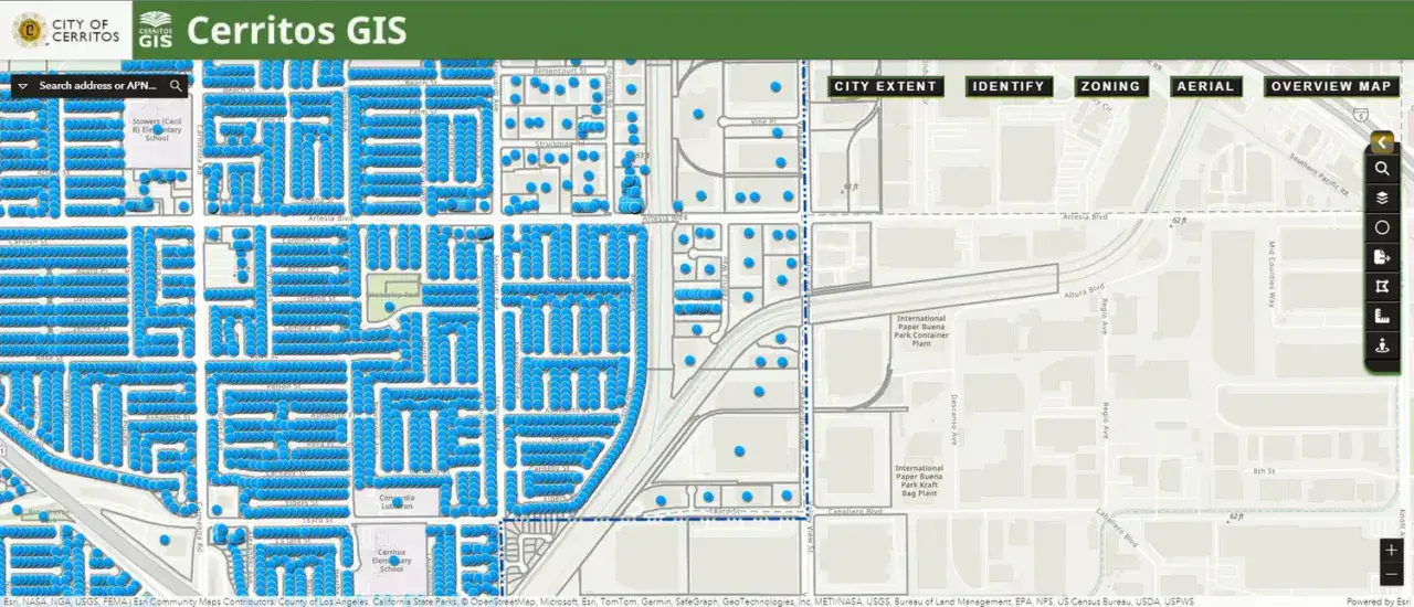
Interactive parcel mapping built on the ArcGIS Maps SDK for JavaScript
Search by street address, APN or AIN with instant zoom to the parcel
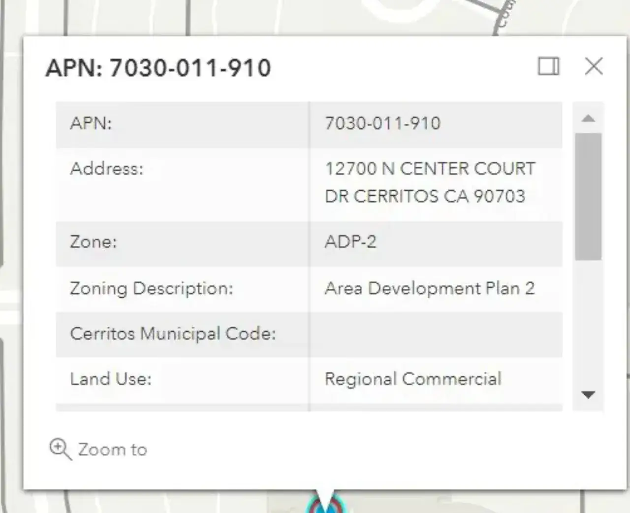
Full parcel attributes — zoning, land use, HOA, assessor map and lot detail
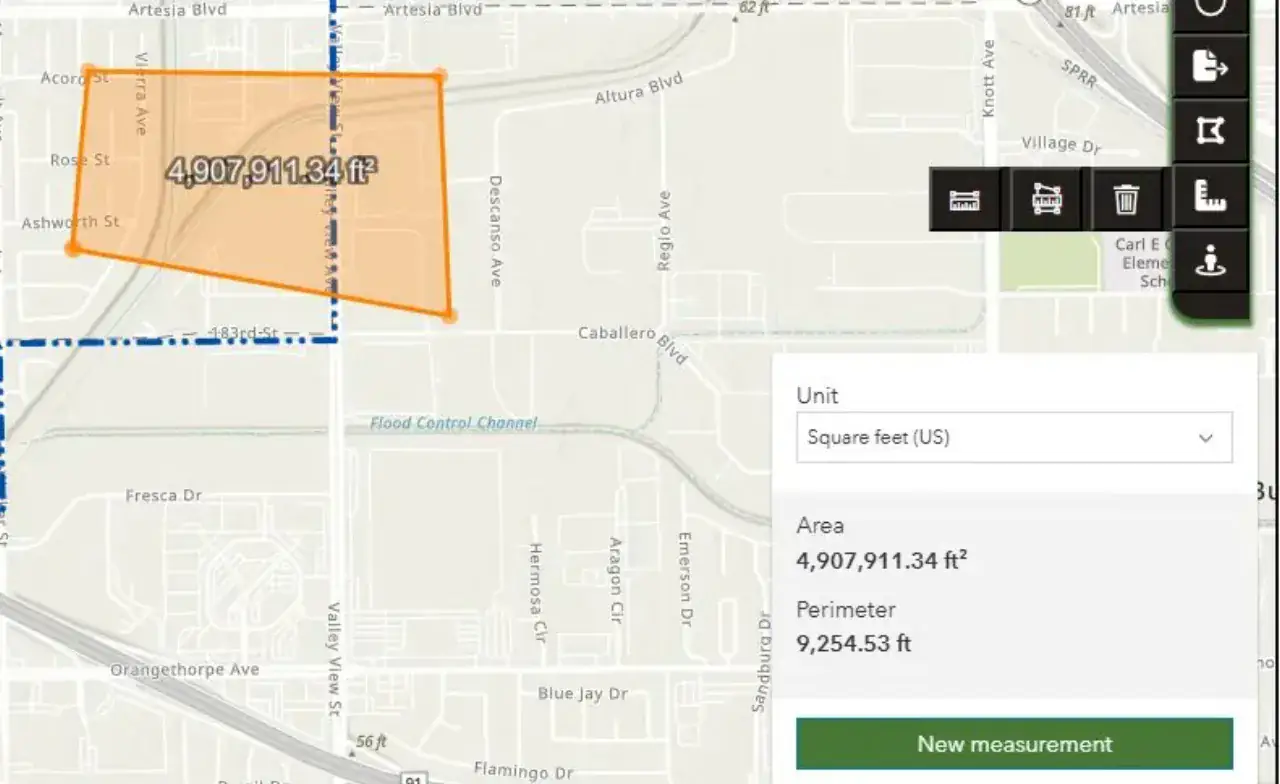
Buffer, measurement and spatial selection tools with CSV export
Capabilities
Core Functionality
Address / APN / AIN search with suggestions and result list
Property locator panel showing the complete attribute record
Buffer tool with configurable radius and selected-parcel export
Distance and area measurement across imperial and metric units
Layer toggles for city extent, zoning, aerial imagery and overview map
Building permits, planning approvals and business licence look-ups
Responsive layout usable on desktop and tablet in the field
Technologies
Tools & Stack
Product
From The Working Application
Portfolio
Explore More GIS Projects
Contact Us
Have A Project?
Let’s Build ItHave a project in mind? Tell us what you're building and we'll get back to you within 12–24 hours with a clear plan.
🔒
100% Confidential
⚡
12–24 Hr Response
🛡️
60-Day Bug Fix
✅
Free Consultation
💬
Start Your Project
Fill in the details below or book a call