
GIS Case Study
Coastal Survey & Navigation Portal — Maritime Navigation System
Bathymetric survey visualisation and navigation portal for a North Sea coastal region.
Domain
Maritime Survey / Navigation
Role
Full-Stack GIS Developer
At A Glance
What Makes It Work
Nautical mapping of survey areas using Mapbox GL JS
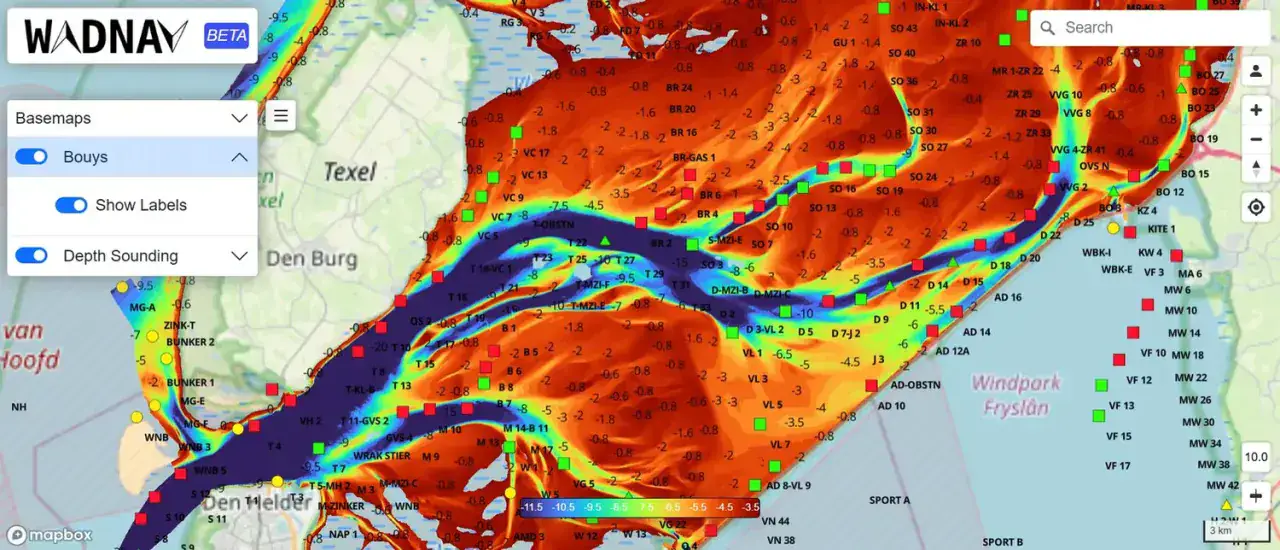
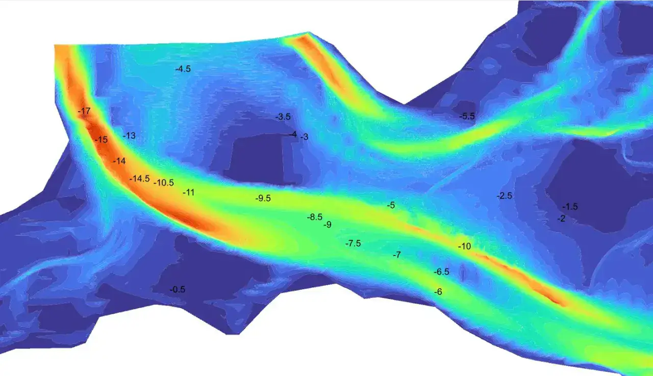
Depth-sounding surfaces with a user-adjustable depth colour range
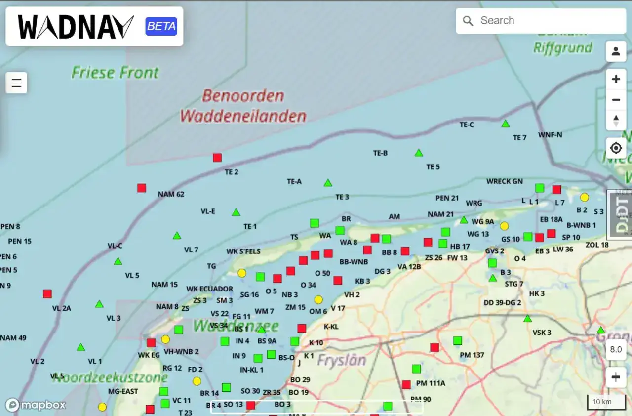
Navigation buoy and marker tracking with status-based symbology
Field-ready responsive interface behind secure crew authentication
Capabilities
Core Functionality
Bathymetric depth visualisation with user-defined min / max depth
Live colour-ramp control applied across the sounding surface
Buoy layer with categorised markers, labels and condition status
Basemap switching — OSM, streets, satellite, hybrid, navigation night
Depth contour rendering for channel and shoal interpretation
Search across survey areas and coordinate look-up
Role-based authentication for survey and office users
Technologies
Tools & Stack
Product
From The Working Application
Portfolio
Explore More GIS Projects
Contact Us
Have A Project?
Let’s Build ItHave a project in mind? Tell us what you're building and we'll get back to you within 12–24 hours with a clear plan.
🔒
100% Confidential
⚡
12–24 Hr Response
🛡️
60-Day Bug Fix
✅
Free Consultation
💬
Start Your Project
Fill in the details below or book a call