
GIS Case Study
Rural Infrastructure Planning GIS — Planning Support System
A planning and monitoring platform for rural infrastructure schemes, combining spatial editing with data-driven analysis.
Domain
Infrastructure Planning / Rural Development
Role
Full-Stack GIS Developer
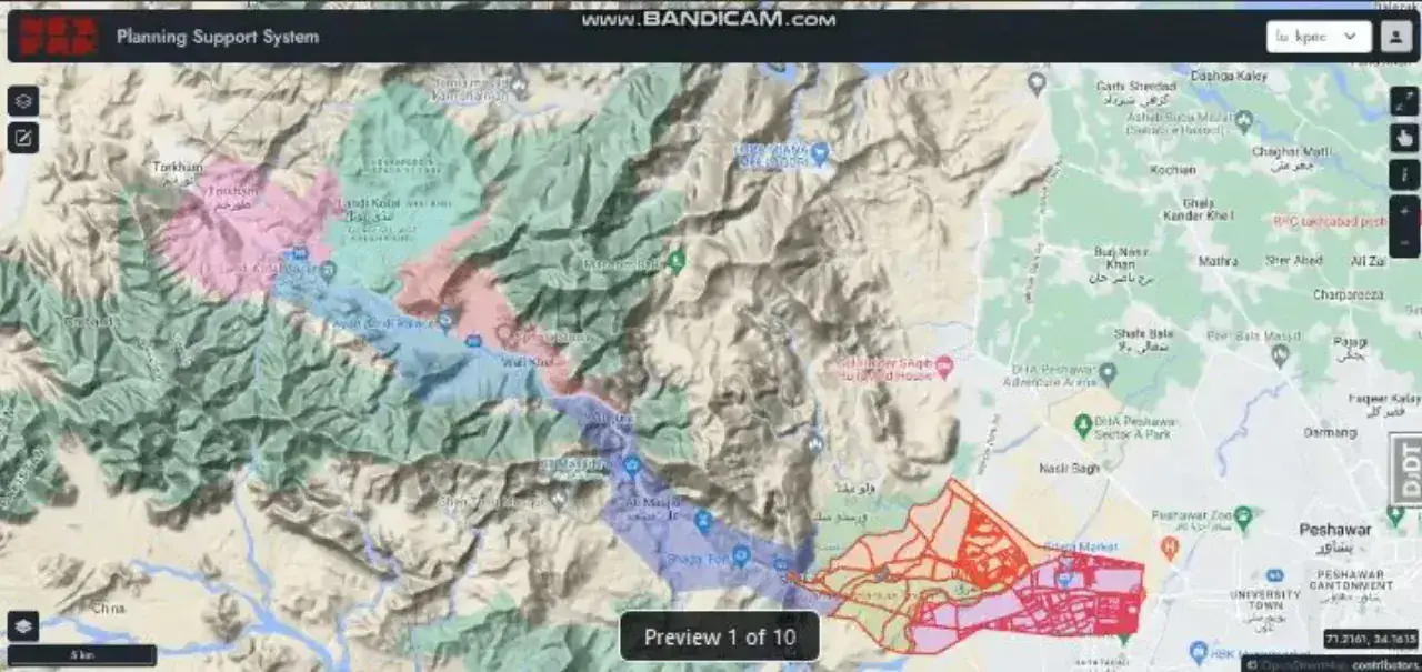
At A Glance
What Makes It Work
Proposed roads, points and polygons digitised directly in the browser
Scheme boundaries and chak-level irrigation units mapped and attributed
In-map editing tools writing straight back to PostGIS
Progress tracking against planned versus delivered infrastructure
Capabilities
Core Functionality
Digitising tools for proposed points, lines and polygons
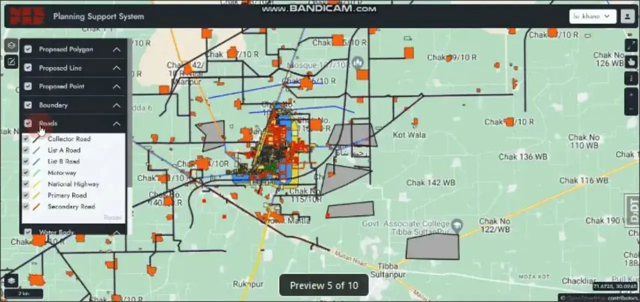
Road classification layers — motorway, national highway, primary, secondary, metalled and un-metalled
Scheme boundary and chak-number labelling for irrigation planning
Editing panel with layer selection and attribute entry
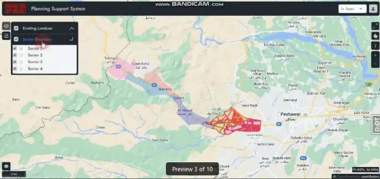
Terrain, land-use and satellite basemaps for site appraisal
Sector-based navigation across planning areas
PostGIS-backed persistence with QGIS round-tripping
Technologies
Tools & Stack
Product
From The Working Application
Portfolio
Explore More GIS Projects
Contact Us
Have A Project?
Let’s Build ItHave a project in mind? Tell us what you're building and we'll get back to you within 12–24 hours with a clear plan.
🔒
100% Confidential
⚡
12–24 Hr Response
🛡️
60-Day Bug Fix
✅
Free Consultation
💬
Start Your Project
Fill in the details below or book a call