
GIS Case Study
Groundwater Well Monitoring Platform — Ground Water Information System
A groundwater well health monitoring and analysis platform for a national water resources authority.
Domain
Groundwater Monitoring / Water Resources
Role
Frontend GIS Developer
At A Glance
What Makes It Work
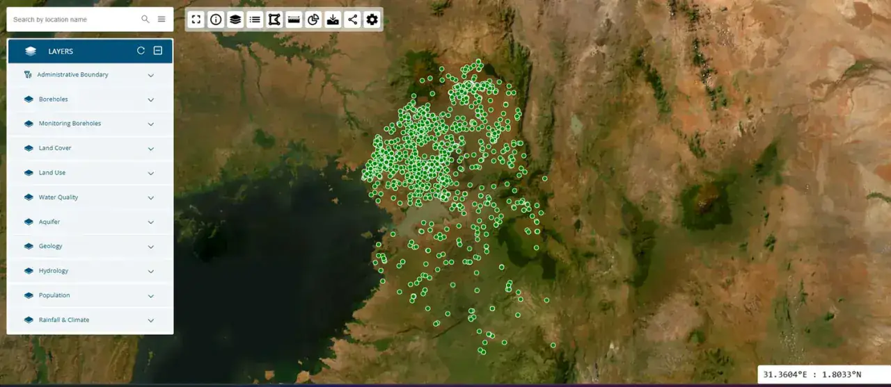
Borehole inventory mapped and classified by well use and status
Attribute tables, graph analysis and statistical reporting
Vector-tile mapping over satellite imagery with OpenLayers
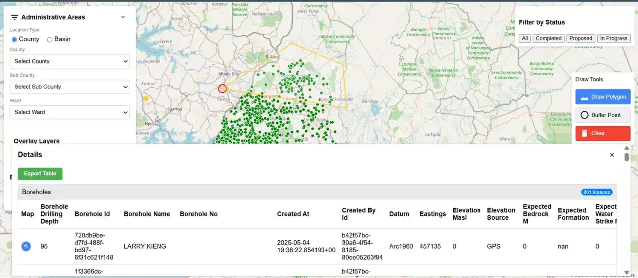
Administrative-area drill-down from country to district level
Capabilities
Core Functionality
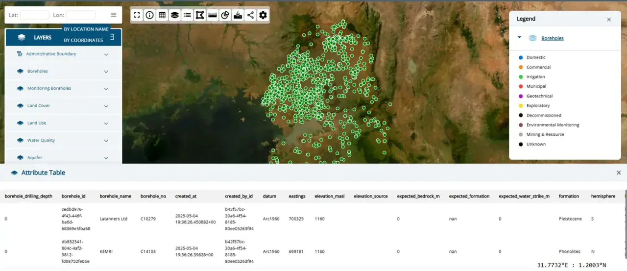
Borehole layer classified as domestic, commercial, irrigation, municipal, geotechnical, exploratory, decommissioned, environmental-monitoring and mining wells
Layer catalogue: administrative boundary, boreholes, monitoring boreholes, land cover, land use, water quality, aquifer, geology, hydrology, rainfall & climate, population
Attribute table with borehole ID, name, elevation, depth, formation and source
Administrative-area explorer with per-district borehole listings
Distance and area measurement plus feature statistics
Dynamic legend, custom symbology and basemap switching
Search by location name or by coordinates; data export and sharing
Technologies
Tools & Stack
Product
From The Working Application
Portfolio
Explore More GIS Projects
Contact Us
Have A Project?
Let’s Build ItHave a project in mind? Tell us what you're building and we'll get back to you within 12–24 hours with a clear plan.
🔒
100% Confidential
⚡
12–24 Hr Response
🛡️
60-Day Bug Fix
✅
Free Consultation
💬
Start Your Project
Fill in the details below or book a call