
GIS Case Study
Provincial Disaster Decision Support System
A provincial decision-support platform for a disaster management agency covering forecasting, early warning and anticipatory action.
Domain
Disaster Management / Decision Support
Role
Full-Stack GIS Developer

At A Glance
What Makes It Work
Province-wide GIS dashboard for preparedness and coordinated response
Weather layers — temperature, humidity, heat index, UV, pressure, cloud, wind and rainfall
24-hour animated timeline driving hexbin weather surfaces
Hazard scenarios, exposure assessments, resource mapping and inventory modules
Capabilities
Core Functionality
Provincial GIS dashboard with basemaps, administrative boundaries and alert layers
Weather layer group with per-parameter legends and calibrated colour ramps
Hazard scenario builder and exposure assessment modules
Multi-hazard vulnerability and risk assessment module
Resource mapping, inventory and emergency contact registers
Weather models, weather forecast and consensus forecast views
Content management, user management and archive tools
Technologies
Tools & Stack
Product
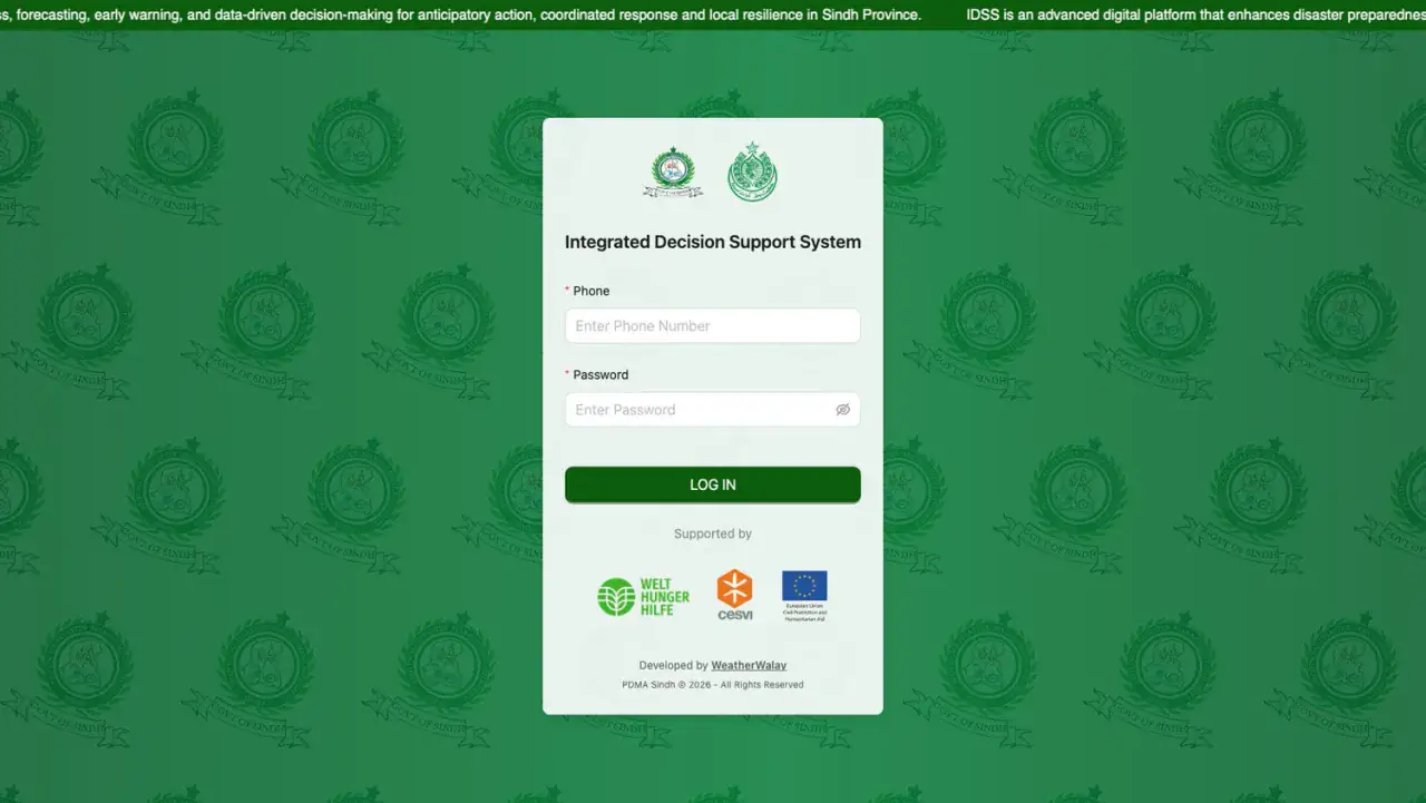
From The Working Application
Portfolio
Explore More GIS Projects
Contact Us
Have A Project?
Let’s Build ItHave a project in mind? Tell us what you're building and we'll get back to you within 12–24 hours with a clear plan.
🔒
100% Confidential
⚡
12–24 Hr Response
🛡️
60-Day Bug Fix
✅
Free Consultation
💬
Start Your Project
Fill in the details below or book a call